

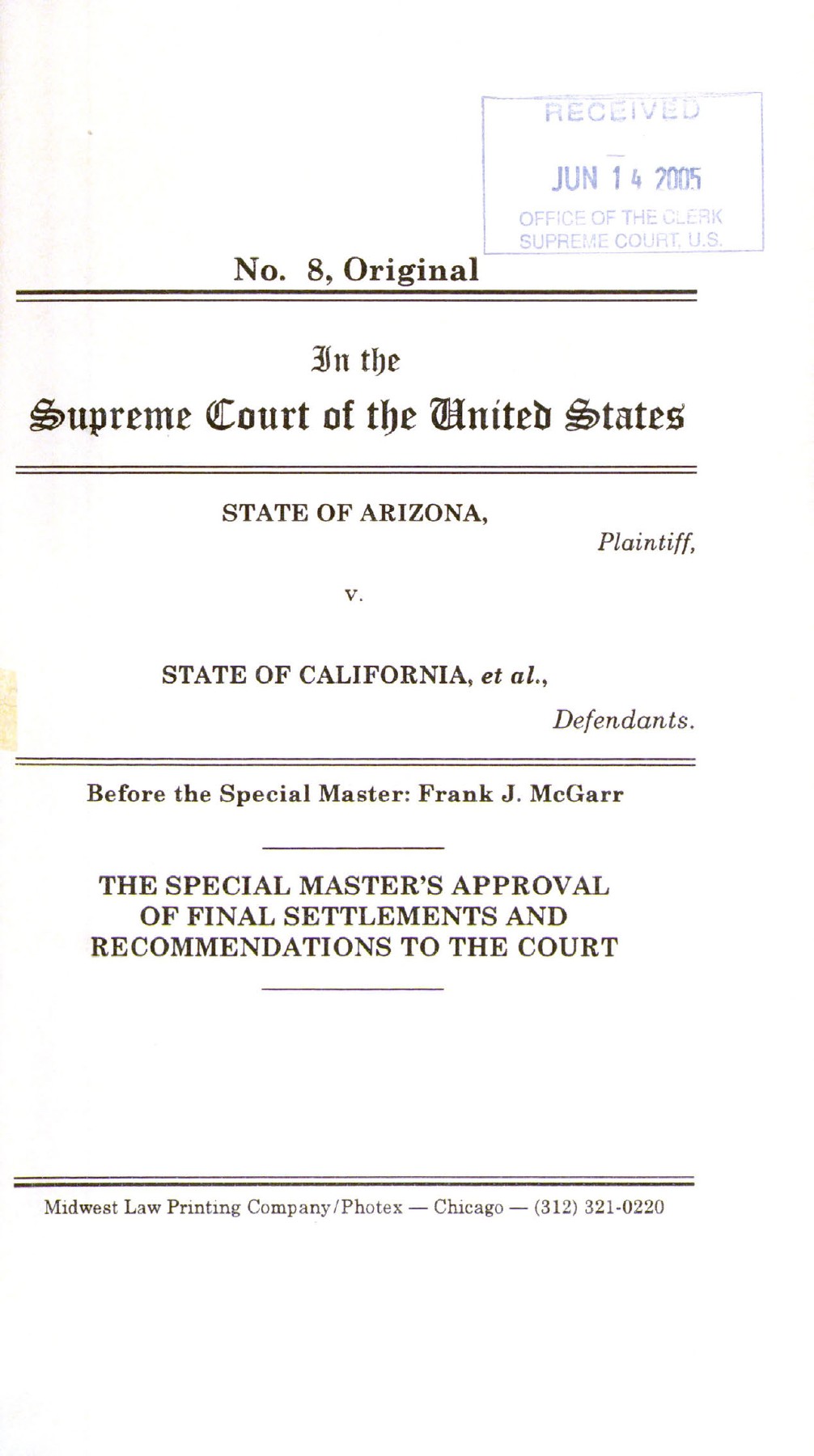
In June 2005, Special Master Frank J. McGarr submitted the final Fort Yuma settlement materials to the Supreme Court. The filing described separate California and Arizona agreements, summarized their principal terms, and recommended judicial approval. It marked the transition from contested proceedings after the 2000 remand to a negotiated resolution of the remaining water-rights claims. [1]
The report's account makes clear that the settlement followed further litigation rather than appearing immediately after the Supreme Court's decision. It describes extensive discovery, denial of the state parties' summary-judgment motion, and preparation for a hearing scheduled for April 25, 2005. A final round of settlement discussions, assisted by mediator Owen Olpin, produced the agreements submitted with the report. [1]
The document is a recommendation and settlement package, not the Court's final decree. That distinction is especially important because later summaries sometimes compress the 2005 agreement and the 2006 approval into a single date. The Supreme Court's own decree states that the final agreements were approved and the consolidated decree entered on March 27, 2006. [4]
What remained after the 2000 remand
The Supreme Court had rejected two grounds for preventing the Tribe and the United States from pursuing additional water rights associated with disputed Fort Yuma lands. It returned the outstanding claims to the Special Master for further proceedings. The decision removed the threshold barriers but did not finally determine the amount of additional water. [2]
McGarr's report acknowledges that the Court had disagreed with his earlier settlement-preclusion reasoning. It then describes the proceedings that followed, with the Tribe, United States, Arizona, California, Metropolitan, and Coachella Valley Water District participating. That sequence explains why the final settlement package has several parties and more than one agreement.
The report also distinguishes the earlier Fort Mojave and Colorado River settlements from the remaining Fort Yuma issues. Those other claims had reached a separate decree track in 2000. The 2005 submission concerns the negotiated resolution that followed the Fort Yuma remand, rather than a duplicate submission of the earlier settlements.
The California agreement's additional water
The report describes an additional diversion entitlement of up to 20,000 acre-feet annually under the California settlement. Of that amount, 13,000 acre-feet would become available upon entry of the required decree, with the remaining 7,000 acre-feet scheduled to become available beginning in calendar year 2025. The agreement assigned the additional diversions a January 9, 1884 priority date and subjected them to specified terms. [1]
Those figures describe the negotiated arrangement. They should not be reported as measured annual water use or evidence that every available acre-foot was diverted in a particular year. The staged schedule is also important: a summary that describes the entire additional amount as immediately available in 2005 would erase a material feature of the settlement.
The report further states that the Tribe and the United States agreed not to claim additional reserved or other Colorado River water rights for the reservation or Tribe after entry of the decree, within the agreement's terms. The additional entitlement was part of a negotiated resolution that included commitments by the parties, not an isolated number detached from the rest of the settlement.
Metropolitan's role was conditional
The California agreement included a mechanism under which Metropolitan could receive water if the Tribe limited use of the additional diversions and allowed the water to pass through California's priority system. The report described payment beginning from a $125-per-acre-foot figure with annual escalation of 2.5 percent, tied to water available for use and received by Metropolitan. It also described an option concerning termination of those payments beginning in 2035. [1]
These are historical contract terms summarized in the 2005 filing, not a statement of present invoices, actual deliveries, or a guaranteed payment stream. The report expressly notes that the United States did not warrant or guarantee water availability to Metropolitan. That qualification is part of the economic arrangement and should accompany any discussion of its potential benefits.
The 2018 study later described the diversion mechanism in its account of Quechan water use and operations. That later source helps show how the arrangement was discussed in planning, but it is still a dated study. Current performance would require contemporary accounting and agreement records rather than extrapolation from the original price and escalation formula. [5]
Boundary language was carefully limited
The California settlement addressed recognition of the 1981 determination, reservations of position, and specified riverbed lands. The report explains that some parties agreed to recognize and waive challenges to the determination subject to identified reservations, while California's recognition was framed for water-rights purposes and included further qualifications. The terms were not identical for every party. [1] [3]
The report also describes disclaimers of property interests in the western half of the last natural Colorado River bed before the 1920 avulsion, while acknowledging disagreement over precise location and whether those lands lay inside or outside reservation boundaries. Those details demonstrate why a water settlement should not be recast as an unrestricted resolution of every title or jurisdictional dispute.
The agreement nevertheless sought stability in the negotiated water quantities. The report states that future changes in reservation boundaries or status would not affect the diversion quantities available under the settlement. That provision shows the parties resolving water matters while managing, rather than pretending to eliminate, certain other disagreements.
A separate Arizona agreement
The Arizona settlement provided for an additional diversion of up to 6,350 acre-feet per year and addressed the reservation's boundary in Arizona. The report described the boundary through the 1884 executive order, applicable law concerning movement of the river, and an October 1980 BLM cadastral survey used for the agreement's depiction. [1]
The report's narrative gives January 8 as the priority date, while the final decree's Arizona appendix states January 9, 1884. The entered decree supplies the final adopted date. The discrepancy does not change the report's role in explaining the negotiated Arizona arrangement, but the recommendation and the judicial instrument remain separate records, with the decree establishing the terms as entered by the Court. [4]
The Arizona agreement also stated that the negotiated resolution should not be construed as an admission or acceptance of another party's legal contentions in this or another proceeding. Settlement ended specified disputes on agreed terms without requiring all parties to adopt one historical argument. That feature is significant when interpreting what the agreement proves about the underlying controversy.
The exhibits are part of the evidence
Exhibit A contains the California agreement dated February 14, 2005. Exhibit B contains the Arizona agreement dated February 17, together with the referenced survey material. Exhibit C supplies the proposed supplemental decree. The report's overview is therefore accompanied by the instruments it recommends for approval. [1]
The Master expressly cautioned that his summaries did not replace the agreements' actual terms. The exhibits set out the language governing the negotiated quantities, conditions, and qualifications. Their relationship to the narrative was consequential: the report explained the agreements and recommended approval, while the agreements themselves stated the undertakings that the parties asked the Court to accept. The Court's later action approved those settlements.
The packet also provides evidence of the negotiated character of the outcome. A recommendation based on settlement differs from findings after a full merits hearing. The report's description of discovery and hearing preparation explains the setting, but the resolution it submitted was the parties' agreement, not a newly adjudicated answer to every contested historical proposition.
The report identifies the actual parties to each agreement, another reason to preserve the separate exhibits. The California instrument includes the Tribe, United States, California, Metropolitan, and Coachella Valley Water District. The Arizona instrument involves the Tribe, United States, and Arizona. Their overlapping participation does not make the agreements identical or extend every undertaking in one instrument to every party in the other. The negotiated structure follows those distinct relationships. [1]
Recommendation and approval were separate events
The report was submitted June 14, 2005. Its purpose was to obtain the Court's approval and the decree needed to implement the settlement. The operative approval appears in the Court's March 27, 2006 document, which expressly approves the final agreements and enters the consolidated decree. [4]
The difference matters for the timeline. The agreements were reached and presented in 2005; the final judicial action identified in the primary decree occurred in 2006. A later agency overview's shorthand should not override the Court's dated order. Both milestones can be described accurately without forcing them into one year.
The consolidated decree also brought earlier substantive provisions together, allowing the settlement to be read within the larger Colorado River adjudication. The 2005 report explains the negotiated terms behind that step. The 2006 instrument records the Court's action adopting and implementing the final resolution.
The report's place in the reservation history
The settlement package connects a long dispute over nineteenth-century instruments to specific negotiated water arrangements. It shows the result of litigation continuing after the 2000 threshold decision: additional diversion rights, defined timing, conditional arrangements involving Metropolitan, and carefully qualified boundary provisions. Those are the concrete terms behind a broad statement that the water claims settled.
Its significance also lies in what it does not claim to be. The report is not a current water-use account, and the agreements are not a blanket adjudication of every question concerning reservation land. They are the negotiated resolution submitted in this proceeding. Reading the report, exhibits, and later decree together preserves both the achievement and the precise terms on which it was reached.
Sources
1. Arizona v. California, No. 8, Original, Special Master’s Approval of Final Settlements and Recommendations (June 14, 2005). Report submitted June 14, 2005; narrative, pages 1–9, and settlement exhibits A–C. Download PDF · Source publication · Source PDF (137 pages).
2. Arizona v. California, 530 U.S. 392 (2000). Rejection of preclusion and remand; 530 U.S. 392. Read source PDF · Source publication
3. 46 Fed. Reg. 11,372–11,376 (February 6, 1981); signed January 30, 1981. Boundary determination referenced in the California agreement. Read source PDF · Source publication
4. Arizona v. California, 547 U.S. 150 (2006), decree entered March 27, 2006. Approval of final agreements and entry of decree, March 27, 2006. Read source PDF · Source publication
5. Colorado River Basin Ten Tribes Partnership Tribal Water Study, Chapter 5.9: Quechan Indian Tribe (December 2018). Section 5.9.5.4; later study's account of Metropolitan diversions. Read source PDF · Source publication